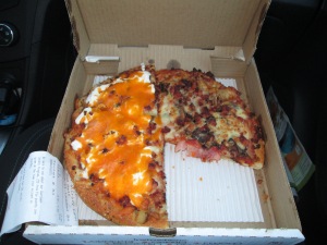
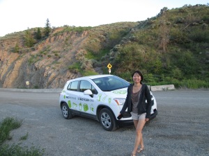
So after our big Williams Lake day, we still weren’t done! We had heard that there were sand dunes nearby, and Susan was determined to check it out 🙂 So we went! First we got some really fantastic pizza from The Red Tomato, we got a pizza that was half baked potato and half “crazy canuck” which was really just a lot of yummy bacon, and came with maple syrup to dip it in! The pizza was really good, even though we had it about 1.5 hours after it had been warm. We did this because we wanted to have our pizza when we got to our destination.. which we thought was only going to take 45 min to an hour, but actually took us much longer because we got lost.
Getting lost was a tragedy not only because it meant our pizza got colder, but also because we started this trip rather late, at about 6:30, and by the time we finally got to the site it was after 8pm, meaning we didn’t have much daylight once we finally got where we were going.
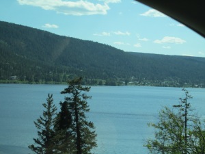
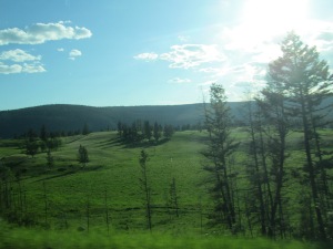
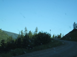
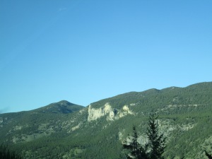
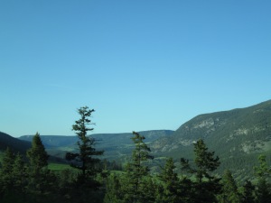
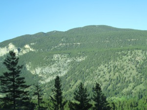
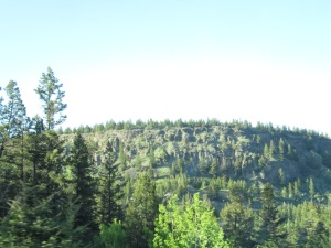
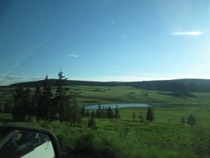
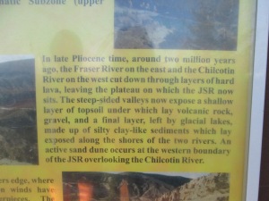
We were really excited to see these dunes because Williams Lake has mountains and plenty of trees on them, and we could not fathom that landscape becoming one of sand dunes.
 (These photos are in chronological order)
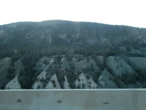
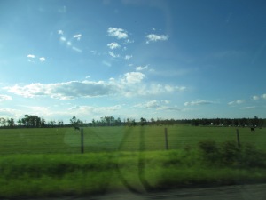
But then, right before our eyes, the landscape did begin to change. The hills grew sparser, with sandier soil, and eventually the giant mountains and cliffs dissapeared all together and we came to a large stretch of land that was flat, occupied by cow pastures, and where the fields were filled with rocks.
So the reason we got lost was because our only directions to this spot our GPS “Garmin” could not find was a photo on Susan’s phone of google directions and a map. So we set garmin to go to a general spot, and we were super glad when it turned out that Garmin had lied to us and had found the road we were looking for. So we went down that road! Unfortunately, eventually it turned out that we had gone down an adjacent road just 20m or so away from the correct road.
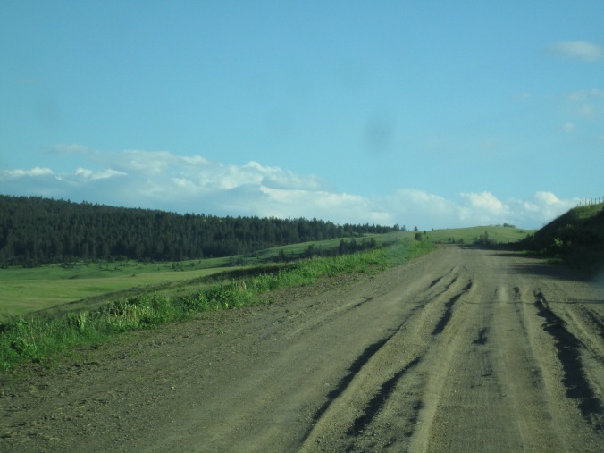
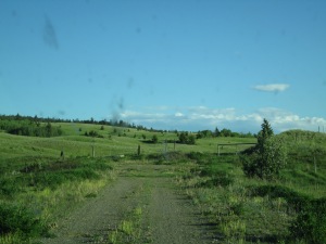
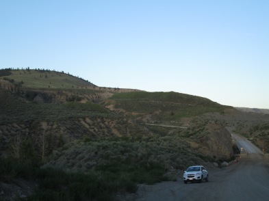
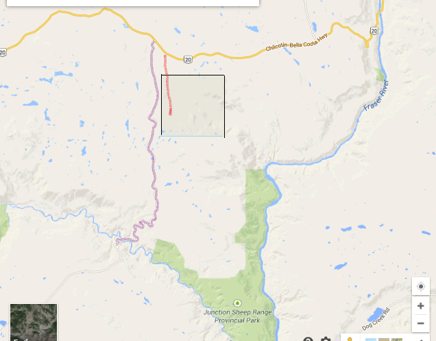 So the Purple line was the road that we were looking for, and eventually did get to. The Black box is an Indian Reserve. The red line represents the road we wasted a lot of time going down first. It seems very short, and that it shouldn’t have made such an impact on our trip, but the road was a little longer than represented, and we could not drive more than 20-30 km/hr because it was a dirt road uneven with years of people driving through mud and then the mud hardening rigidly. Here is a photo of those road conditions.
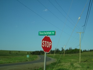
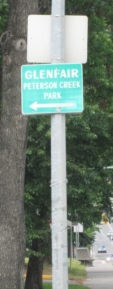
 I know we sound silly. How could we possibly not notice that this wasn’t the correct road?! We passed through this town, we should have known it was the reservation! These sand dunes are well known, so lots of people would have traveled the road there right? Well when we saw this sign, of course it did not say “Farwell Canyon Rd”, but we thought that maybe it was just named something different here. And once on this road we wanted to at least follow it through just in case. It was SO close to where the road was supposed to be!
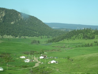
Well, eventually after driving this road for a while we come to a section near the end where the road only had two tire paths, and the middle was quite overgrown with dandelion poofs blooming. The bottom of our car is quite low so as we drive over this grass it makes a loud grating sound. By driving over the dandelions and removing the fluff, I realize that this means that the road has to have been untouched for a while. (What good detective skills, right? I’m just like V Mars). We soon come to the end of this road, which ends at what seems to be an abandoned ranch. A gate blocks off the end of the road.
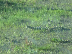
I was terrified to see this animal spine lying on the road at the end. Thank goodness it did not puncture our tires. After driving all the way back to the highway, we soon found the correct road, very well labeled.
Bad Sign
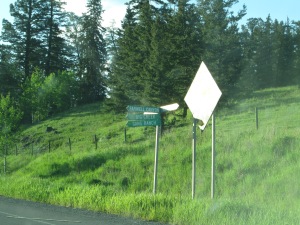
Good Sign
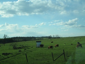
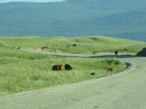
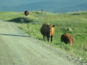
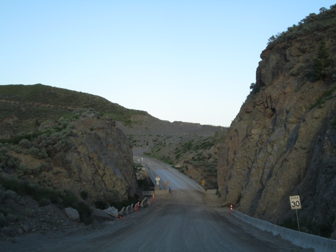
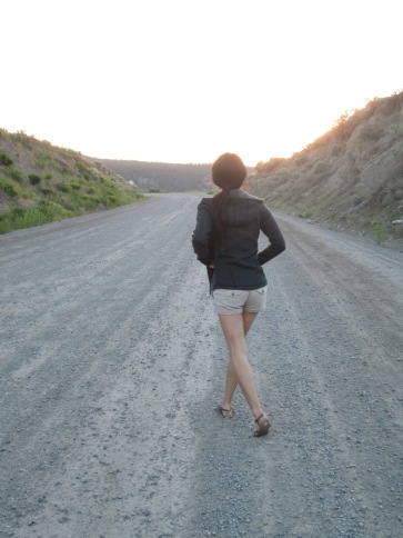
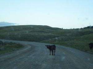
The correct road is gravel paved, so we still were not able to drive more than 40-50km/hr but we did eventually get where we were going. There were at least three instances of cows on the road though. They were good “cow cows” (as Susan called them), who moved off the road as we drove through. The stared at us lazily.
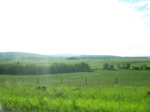
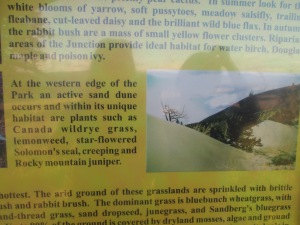
Finally we arrived in Junction Sheep Range Provincial Park. We were told that Mountain Sheep do hang out here, but not so much in spring when they have their newborn babies to take care of.
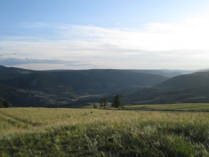

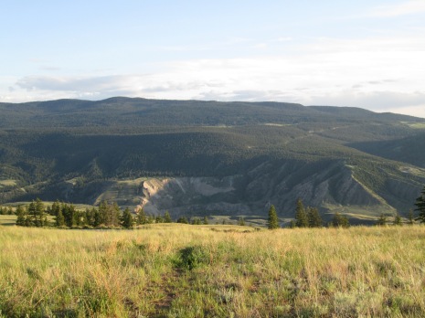
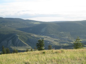
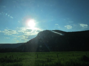
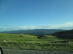
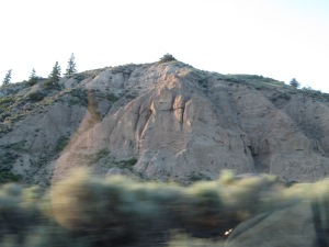
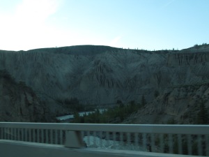
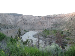
In the above photos we are on top of the canyon’s edge on the North side. You can drive right down into the canyon, and we did. Astounding landscape, so unique and tucked away. We were loosing daylighy quickly, however, and couldn’t stay long. The mosquitoes were coming out, but more importantly we did not want to drive back through those cows again in darkness.
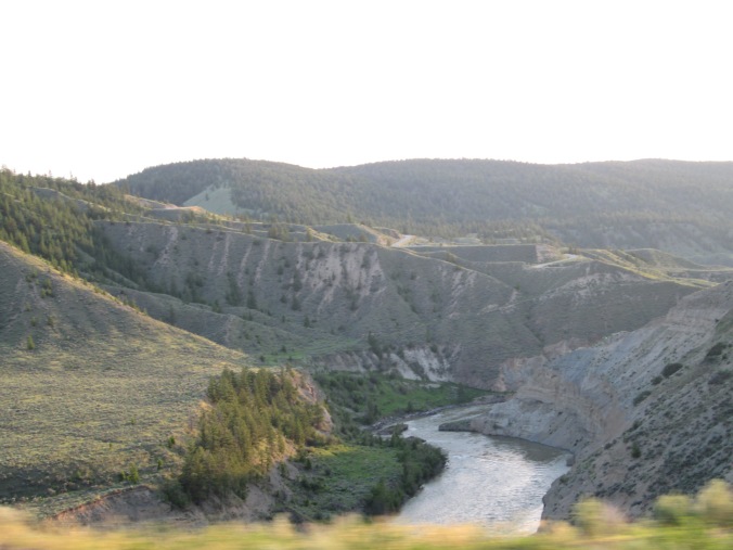
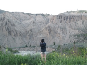
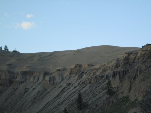
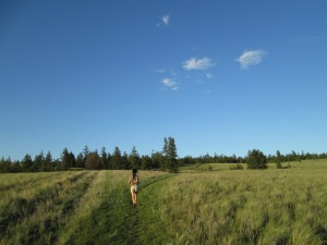
Sand Dune? I think we found them?
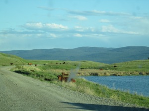
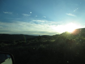
On our way back I was sleepy, mosquito bitten, and had a lap full of cold pizza, but the views were worth it. We saw more cows on the road on our way back. The city of Williams Lake was beautiful at night, but unfortunately I did not take any photos of it all lit up. Long post with lots of photos, thanks for reading about our exhausting adventure!
 This next photo is in the Marina at Scotch Creek, a beautiful place to summer.


 I’m finally almost caught up on blogging! Susan and I always seem to be a week behind events in our journals. This being my journal.